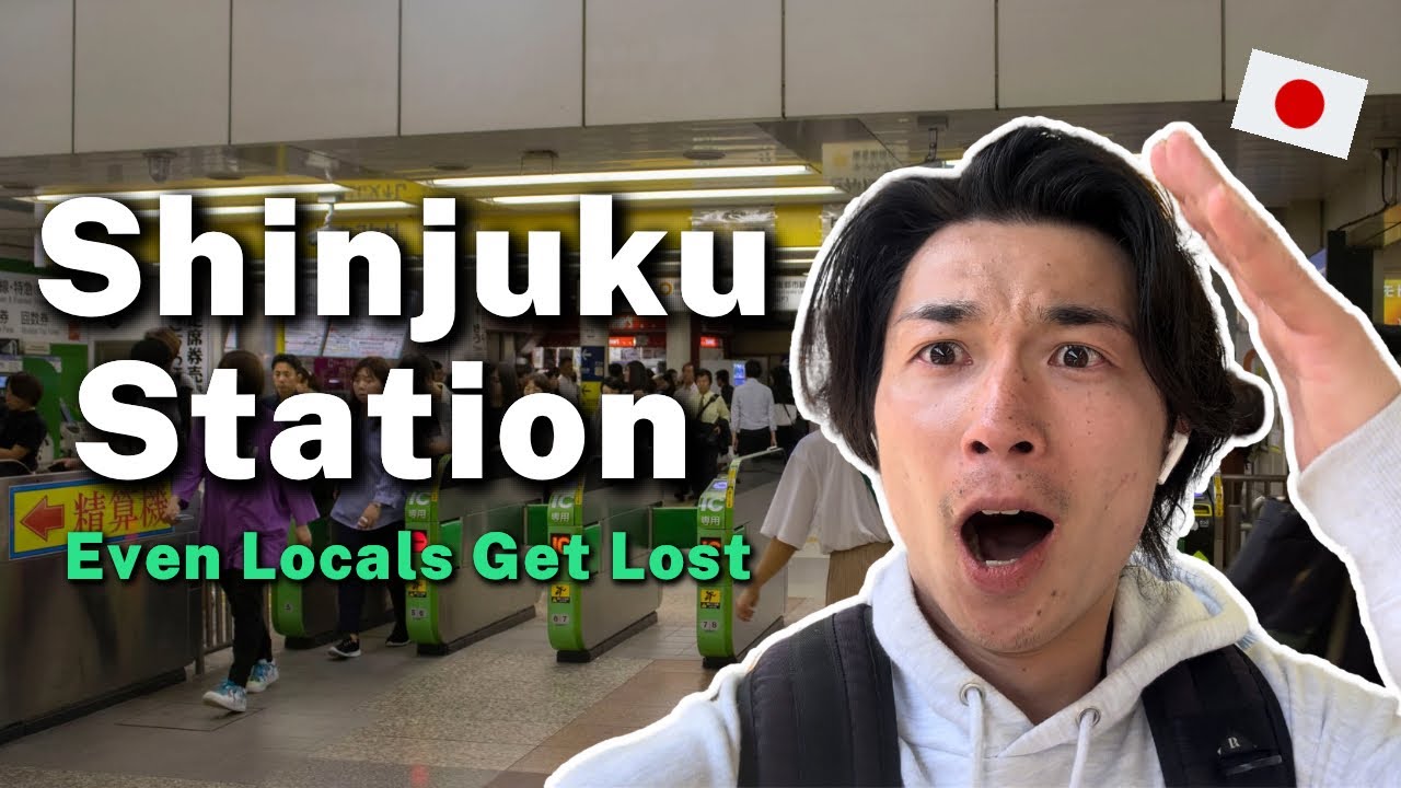


Shinjuku Station is more than just a transportation hub; it is a sprawling, subterranean labyrinth that processes over 3.6 million passengers daily. Often dubbed “The Shinjuku Dungeon” by locals and tourists alike, its sheer scale—boasting over 200 exits and 50+ platforms—can overwhelm even the most seasoned traveler. In 2026, with ongoing redevelopments and shifting layouts, navigating this behemoth requires more than just a map; it requires a strategy.
Whether you are trying to reach the neon lights of Kabukicho, the towering skyscrapers of Nishi-Shinjuku, or catching a long-distance bus at Busta Shinjuku, this comprehensive survival guide will ensure you never feel lost in the world’s busiest station again.
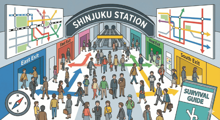
Navigating Shinjuku Station: Understanding the “Dungeon” Layout
To survive Shinjuku, you must first understand its verticality. The station is not a flat map; it is a multi-layered ecosystem spanning several floors.
- Basement Levels (B2F – B1F): Home to the Tokyo Metro Marunouchi Line, Toei Subway lines, and the critical JR East/West underground passages.
- Ground Level (1F): The primary JR platforms (Platforms 1–16).
- Upper Levels (2F – 4F): The South and New South areas, including the Shinjuku Expressway Bus Terminal (Busta Shinjuku) and the Miraina Tower.
The Golden Rule: Follow the Colors, Not Just the Numbers
The most important tip for navigating Shinjuku Station is to ignore your phone’s GPS for a moment and look up. The station uses a color-coded signage system:
- Yellow Signs: These indicate Exits.
- Green Signs: These indicate JR Lines.
- Blue/Red/Pink Signs: These indicate specific Subway and Private Lines (e.g., Marunouchi, Odakyu, Keio).
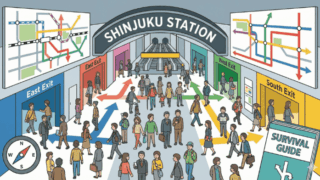
Shinjuku Station Exits: A Deep Dive into the Four Quadrants
The station is essentially divided into four main territories. Choosing the wrong one can result in a 20-minute walk just to get back to the right side of the tracks.
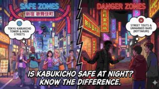
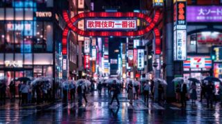
1. The East Exit (Shopping and Nightlife)
If you are looking for the iconic Godzilla head, the Golden Gai, or the high-end Isetan department store, the East Exit is your destination.
- Key Landmarks: Kabukicho, Shinjuku ALTA, Studio Alta, and the Omoide Yokocho (Piss Alley) entrance.
- Survival Tip: There is a “Central East Exit” and a “East Exit.” While they lead to similar areas, the Central East Exit is closer to the underground Lumine Est shopping mall. If you are meeting someone, specify “East Exit (Ground Level).”
2. The West Exit (Skyscrapers and Business)
The West Exit is the gateway to Tokyo’s “Skyscraper District.” This is where you’ll find the major hotels and the Tokyo Metropolitan Government Building.
- Key Landmarks: Yodobashi Camera, Keio Department Store, and the bus stops for airport limousines.
- 2026 Update: The Shinjuku West Exit redevelopment 2026 project is currently in high gear. Some traditional walkways near the old Odakyu building have shifted. Follow the temporary “Grand Loop” signs to navigate around construction zones.
3. The South Exit (Retail and Romance)
The South Exit is located on a bridge overlooking the tracks. It is bright, airy, and much easier to navigate than the underground portions.
- Key Landmarks: Shinjuku Southern Terrace, Shinjuku Gyoen National Garden (10-minute walk), and the Lumine 1 & 2 department stores.
- Secondary Keyword Focus: Finding the South Exit Shinjuku is easiest if you follow the “Koshu-kaido” signs from the JR platforms.
4. The New South / Miraina Tower Exit (Travel Hub)
Located across the street from the main South Exit, this is the newest and most modern part of the station.
- Key Landmarks: Busta Shinjuku (Bus Terminal), Takashimaya Times Square, and NEWoMan.
- Survival Tip: If you are arriving via the Narita Express, follow the signs for the “New South Gate” or “Miraina Tower Gate.” This avoids the congested underground tunnels entirely.
Decoding the Lines: JR, Subway, and Private Railways
Shinjuku is a “union station,” meaning multiple companies operate here. This is often where the confusion begins.
JR East Lines (The Core)
The JR lines are the spine of the station.
- Yamanote Line (Green): The loop line connecting major hubs like Shibuya and Tokyo Station.
- Chuo Line (Orange): The fast track to Tokyo Station (East) or Mt. Takao (West).
- Saikyo/Shonan-Shinjuku Line: Essential for heading North to Saitama or South to Yokohama/Kamakura.
The Private Giants: Odakyu and Keio
These are separate railway companies with their own “stations within the station.”
- Odakyu Line: Your gateway to Hakone and Enoshima. The “Romancecar” departs from the limited express platforms here.
- Keio Line: Primarily serves suburban Tokyo and is the cheapest way to reach Mt. Takao.
The Subways: Tokyo Metro & Toei
- Marunouchi Line (Red): Located on the North end (near East/West exits).
- Toei Oedo Line: Deep underground. Be prepared for a lot of escalators.
- Toei Shinjuku Line: Connects through the “New Line” Shinjuku area.
Shinjuku Station Survival Tips for 2026
To rank this guide as the ultimate resource, we’ve gathered “pro” tips that you won’t find in standard brochures.
The “Sabu-Chade” (Subway Passage) Shortcut
When it’s raining, you can walk from the West Exit all the way to Shinjuku-sanchome via the underground mall system. Look for the “Shinjuku Subnade” signs. This allows you to bypass the surface crowds and traffic.
How to Find Shinjuku Station Lockers
Coin lockers in Shinjuku are notoriously full.
- Secret Spot: The lockers near the New South Gate (2F) and the Miraina Tower entrance are often less crowded than those at the East/West gates.
- Digital Apps: Use the “Suica” locker search kiosks to see real-time availability across the station.
Dealing with “The Wall” (Platform 1-16)
One of the biggest mistakes is trying to cross from the East to the West side inside the ticket gates without a ticket. In 2020, a “Global Great Walkway” opened, allowing pedestrians to walk between East and West without paying a fare. Look for the “Green Passage” signs.
2026 Redevelopment: What has Changed?
The Shinjuku West Exit redevelopment 2026 has seen the demolition of the old Odakyu Department store. In its place, a new 260-meter skyscraper is rising.
- Avoid: The old underground “taxi pool” at the West Exit is currently restricted.
- Use: The new pedestrian decks that connect the West Exit directly to the Shinjuku Grand Terminal project.
Conclusion: Master the Hub
Navigating the world’s busiest station doesn’t have to be a nightmare. By focusing on the four main quadrants—East, West, South, and New South—and prioritizing the yellow “Exit” signs over your GPS, you can navigate Shinjuku with the confidence of a Tokyoite.
Remember: If you find yourself completely lost, head to the South Exit. It is above ground, offers clear landmarks, and provides the easiest path to re-orient yourself with the city skyline.
Ready to Explore Beyond Shinjuku?
Don’t let the “Dungeon” stop your adventure. If you’re planning a trip across Japan, check out our Japan’s Game Centers: 3 Must-Visit Shibuya Arcades & Guide or discover The Ultimate Shinjuku Travel Guide: Navigating Tokyo’s Pulsing Heart.
Next Step: Would you like me to create a custom “Step-by-Step Navigation Map” for a specific destination, like going from the Narita Express to the Park Hyatt Tokyo?